
APPLICATIONS |
|
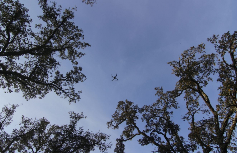
The direct and reflected GNSS signals can be inverted to geophysical quantities that could be used for biomass (the quantity of living plant material) mapping that is essential for many applications. In recent studies, GNSS-R measurements indicated an evident decrease of LR reflectivity as a function of forest Wood Volume WV (or biomass). In COREGAL, we extend these studies for Galileo signals and develop a system prototype for its' demonstration. GNSS-R could be an excellent complement to existing earth observation techniques of measuring biomass on a local scale or in combination with large data sets (e.g. satellite derived data). Indeed, airborne scanning with LiDAR is already considered operational for some forestry applications while satellite and other airborne optical techniques are also used operationally. Existing techniques typically require DEM and cloud-free coverage while Radar although immune to such problems can be expensive to operate and typically saturate with high biomass levels. With GNSS-R and COREGAL we target a new low-cost sensor to be installed on a UAV to generate local data that does not present saturation effect and less dependent on visibility constraints. In COREGAL we are mainly focussed on living terrestrial above-ground vegetation biomass, in particular, woody biomass. There are many factors that change a forest biomass, such as wood harvests, ground fires and other natural disasters, shifting cultivation, browsing, accumulations of biomass in growing and recovering forests. Thus keeping an up to date biomass map is quite a challenge due to the always changing environment, which is further complicated by disparate techniques and methodologies to measure biomass with obvious impact on the accuracy of the maps.
|
|
Biomass uses Examples
|
DATA PROVISION |
|
COREGAL sample data (L0 products) collected in forest and static enviorment can be obtain from the following public data catalogue: http://catalogue.simocean.pt/dataset/gnss-l0-coruche
|
|
GNSS-R Raw Data Product Example
|